2 AUGUST 2027 · Somalia · Mountain Range / Forest
Cal Madow,
under the shadow.
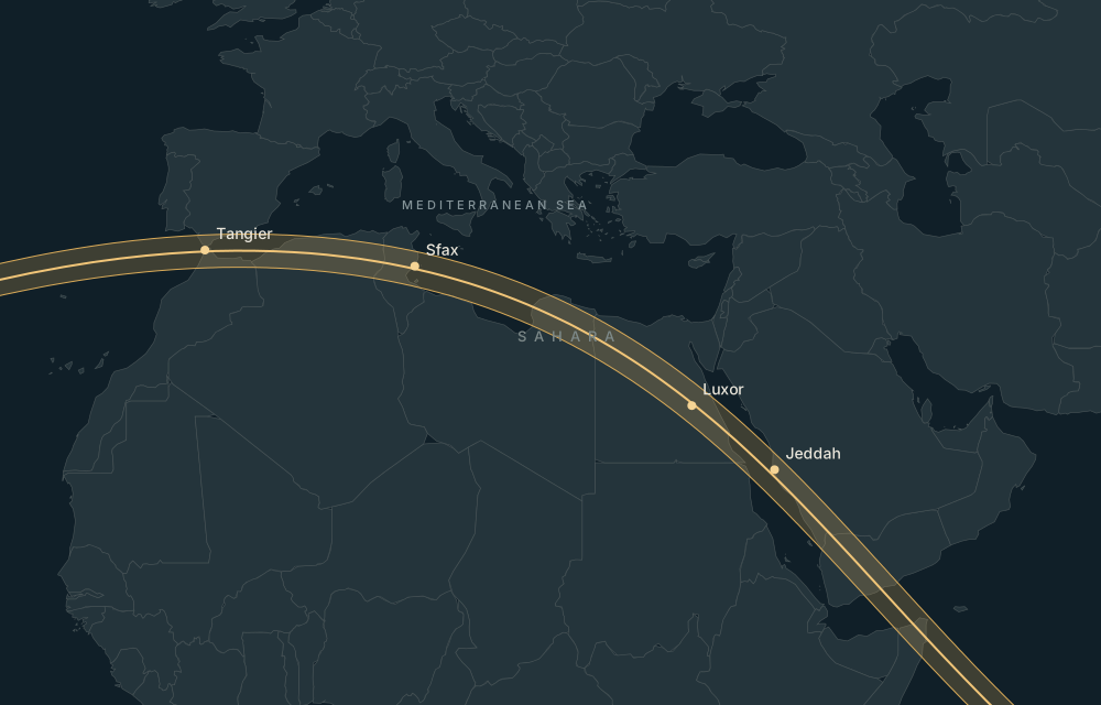
Mountain Range / Forest in Somalia. Use the calculated eclipse circumstances to compare this location, then check access locally.
Explore this place on the map ↗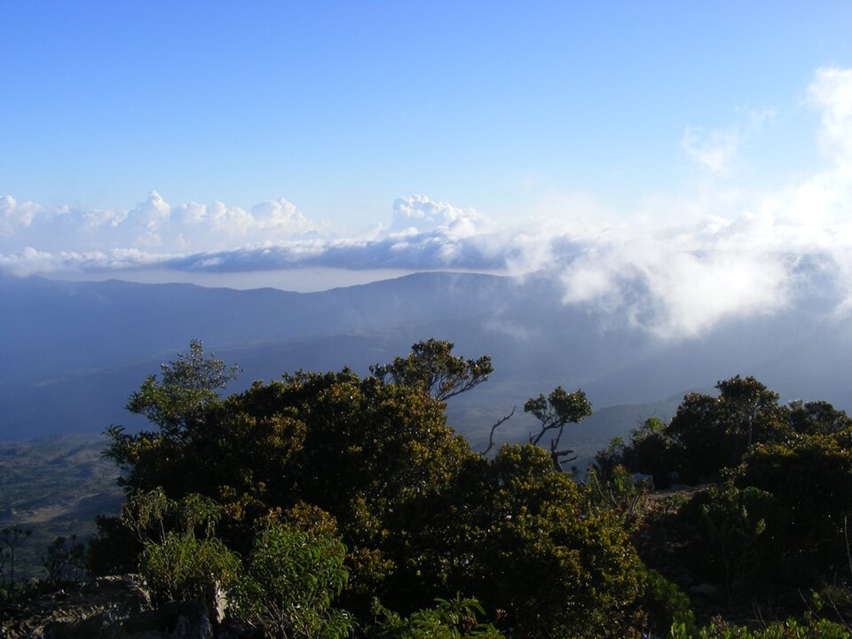
Historical eclipse-season weather
Open the weather-history tab to request regional NASA POWER statistics for this location. This is historical context, not a forecast.
NASA POWER methodology ↗Airports and accommodation
Practical nearby passenger airports, with preference for the same country; distances are straight-line:
- Bender Qassim International Airport (BSA) · Somalia · 215 km. Major airport.
- Berbera Airport (BBO) · Somalia · 255 km. Regional airport.
- Garowe Airport (GGR) · Somalia · 292 km. Regional airport.
Verify airline schedules, border access and the actual road route before booking.
Find accommodation for 1–3 August 2027 ↗Availability is checked on the travel provider’s site. No prices or booking availability are claimed here.
Places nearby
- Lamadaya Waterfalls · 0m 00s totality · 0 km away