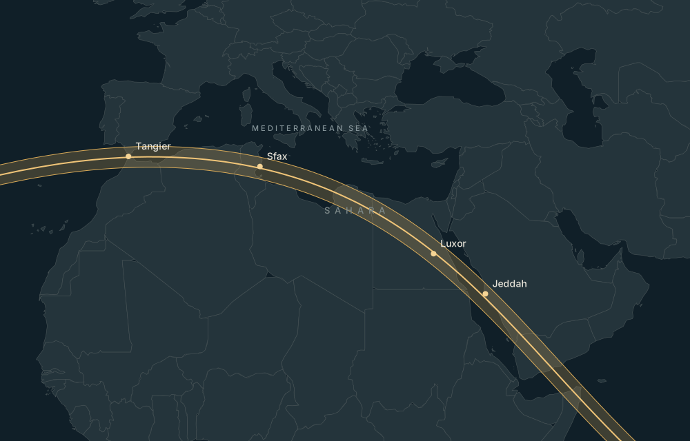
2 AUGUST 2027 · Saudi Arabia · Highest Peak
Jabal Sawda,
under the shadow.
Highest Peak in Saudi Arabia. Use the calculated eclipse circumstances to compare this location, then check access locally.
Explore this place on the map ↗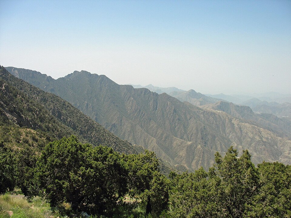
Historical eclipse-season weather
Open the weather-history tab to request regional NASA POWER statistics for this location. This is historical context, not a forecast.
NASA POWER methodology ↗Airports and accommodation
Practical nearby passenger airports, with preference for the same country; distances are straight-line:
- Abha International Airport (AHB) · Saudi Arabia · 31 km. Major airport.
- Jizan Regional Airport / King Abdullah bin Abdulaziz Airport (GIZ) · Saudi Arabia · 154 km. Regional airport.
- Bisha Airport (BHH) · Saudi Arabia · 193 km. Regional airport.
Verify airline schedules, border access and the actual road route before booking.
Find accommodation for 1–3 August 2027 ↗Availability is checked on the travel provider’s site. No prices or booking availability are claimed here.
Places nearby
- Rijal Almaa Heritage Village (Asir) · 5m 59s totality · 12 km away
- Abha · 6m 03s totality · 16 km away
- Khamis Mushait · 6m 00s totality · 39 km away
- Al Habala · 6m 02s totality · 58 km away
- Farasan Islands · 0m 00s totality · 178 km away