Ksar es-Seghir,
under the shadow.
Historic Fortress in Morocco. Use the calculated eclipse circumstances to compare this location, then check access locally.
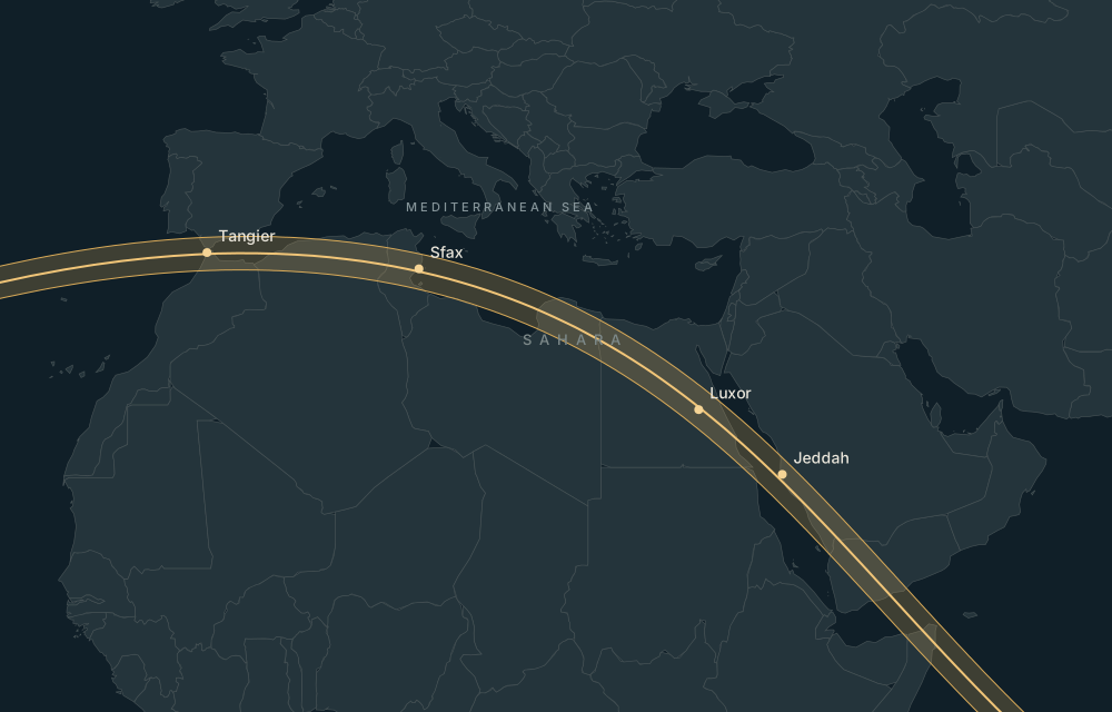
Explore this place on the map ↗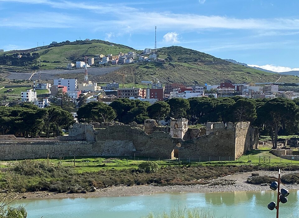
Historical eclipse-season weather
2016–2025 · 26 July – 9 August · 150 daily observations.
12.2% average daily cloud; 6.7% median. 84% of sampled days had mean cloud cover at or below 20%.
Daily mean temperature 24.0°C. Days with at least 1 mm rain: 0.0%.
Regional NASA POWER satellite/reanalysis statistics, not an eclipse-hour forecast. Nearby places may share a grid. Retrieved 2026-09-13.
NASA POWER methodology ↗Airports and accommodation
Practical nearby passenger airports, with preference for the same country; distances are straight-line:
- Sania Ramel Airport (TTU) · Morocco · 35 km. Major airport.
- Tangier Ibn Battuta Airport (TNG) · Morocco · 35 km. Major airport.
- Gibraltar Airport (GIB) · Gibraltar · 40 km. Major airport.
Verify airline schedules, border access and the actual road route before booking.
Find accommodation for 1–3 August 2027 ↗Availability is checked on the travel provider’s site. No prices or booking availability are claimed here.
Places nearby
- Tarifa Point · 4m 40s totality · 18 km away
- Castillo de Guzmán el Bueno (Tarifa) · 4m 39s totality · 20 km away
- Tarifa · 4m 39s totality · 20 km away
- Tangier Medina · 4m 50s totality · 23 km away
- American Legation, Tangier · 4m 50s totality · 24 km away