Valley of the Queens,
under the shadow.
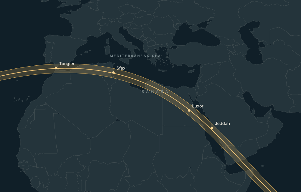
Ancient Pharaonic Tombs in Egypt. Use the calculated eclipse circumstances to compare this location, then check access locally.
Explore this place on the map ↗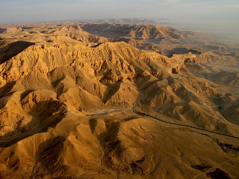
Historical eclipse-season weather
2016–2025 · 26 July – 9 August · 150 daily observations.
11.8% average daily cloud; 6.4% median. 81% of sampled days had mean cloud cover at or below 20%.
Daily mean temperature 33.8°C. Days with at least 1 mm rain: 1.3%.
Regional NASA POWER satellite/reanalysis statistics, not an eclipse-hour forecast. Nearby places may share a grid. Retrieved 2026-09-13.
NASA POWER methodology ↗Airports and accommodation
Practical nearby passenger airports, with preference for the same country; distances are straight-line:
- Luxor International Airport (LXR) · Egypt · 13 km. Major airport.
- Suhaj International Airport (HMB) · Egypt · 109 km. Major airport.
- Aswan International Airport (ASW) · Egypt · 198 km. Major airport.
Verify airline schedules, border access and the actual road route before booking.
Find accommodation for 1–3 August 2027 ↗Availability is checked on the travel provider’s site. No prices or booking availability are claimed here.
Places nearby
- Deir el-Medina · 6m 21s totality · 1 km away
- Medinet Habu (Temple of Ramesses III) · 6m 20s totality · 1 km away
- Malkata · 6m 20s totality · 1 km away
- Valley of the Kings · 6m 21s totality · 2 km away
- The Ramesseum · 6m 21s totality · 2 km away